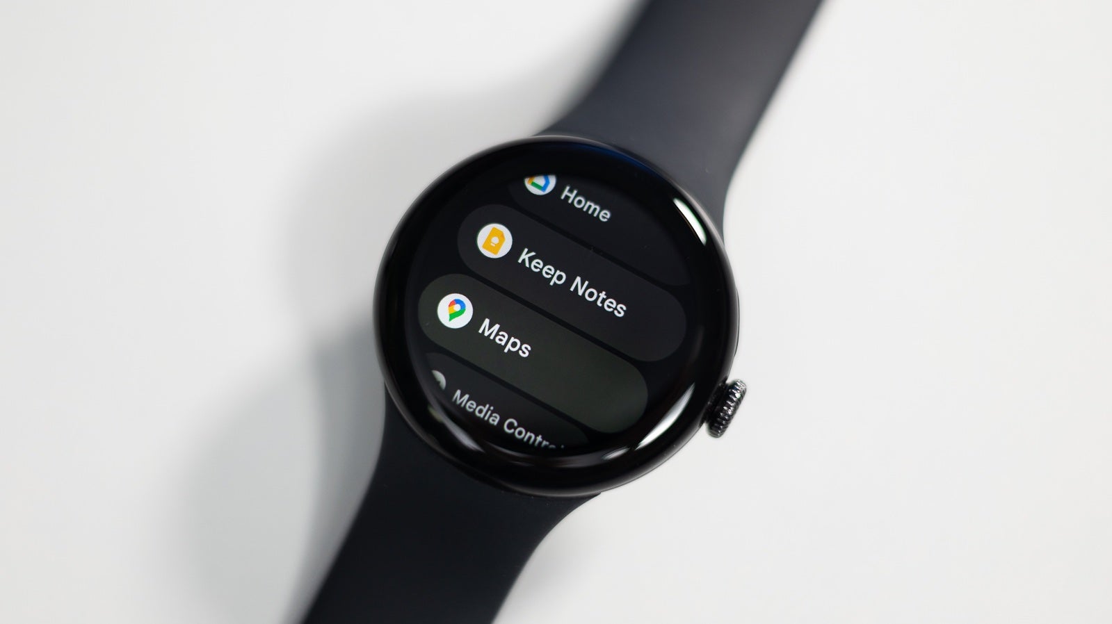
The Google Maps app on Wear OS is getting a nice little update that was previously announced as part of the March Pixel Feature Drop. This update adds public transit directions, helping you navigate bus, train, and ferry routes directly from your wrist.
According to 9to5Google, it appears that the transit directions functionality is arriving as a server-side update in Google Maps for Wear OS (version 11.119.0702.W). This update will make it easier for Wear OS users to plan their commutes and navigate public transportation without having to pull out their phones. Furthermore, the addition of public transit directions further enhances the convenience and utility of the Google Maps app on Wear OS devices.
Using public transit directions with Google Maps on Wear OS (Source: Google)
Wear OS has been receiving some love from Google lately with the addition of helpful new features. Aside from public transit directions, Google also promised fitness-related features for this month. These included the expansion of Pace Training, Heart Zone Training, and a redesigned workout screen for the first-generation Pixel Watch, a long-awaited addition that only Pixel Watch 2 owners benefitted from. Additionally, the OG
Pixel Watch will be getting the Fitbit Relax app and automatically recognized workouts, which have also been
Pixel Watch 2 exclusives until now.It is unclear if the public transit directions update will apply to non-Pixel Wear OS watches. Although it was announced as a Pixel Feature Drop, since it is technically tied to the Google Maps app, it will likely be available on other Wear OS devices that can run that app as well. We will be keeping an eye on that and updating this article as needed.
In the meantime, if you do have Google Maps installed on your Wear OS watch, we encourage you to go ahead and check for any updates available in the Play Store. This will ensure you have the latest version with all the latest features and improvements.
#Public #transit #directions #rolling #widely #Wear


